In a previous age, I was an inveterate collector of paper maps. Somewhere down in our apartment’s storage locker, I have a box full of them covering places my wife and I have travelled to on holiday, and business destinations. I have maps for most of Canada and America’s most significant cities. I also have old National Geographic maps that came with my magazine subscription, several world atlases and an Interstate-75 road guide that we used when travelling to visit friends and family in Atlanta, and Florida.
Whenever we travelled, we would go to the Canadian Automobile Association (equivalent to the AAA in the U.S.) and order TripTiks, handy flip books that marked our travel in Canada or the United States. My wife would follow our route and read about the towns and highlighted sites as we drove. We often stopped because of the information gleaned from maps and map guides.
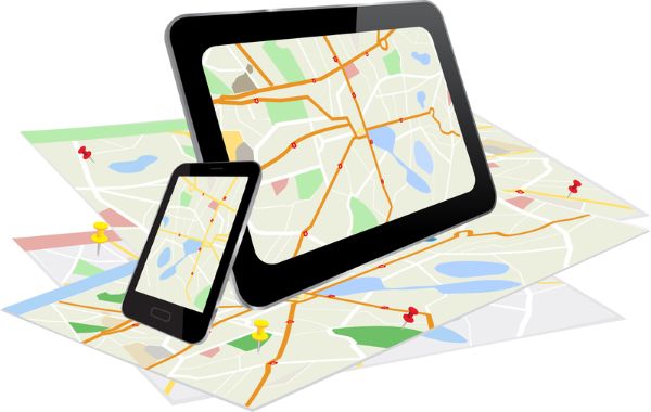
That was the past. Today, because of a constellation of global positioning satellites (GPS) and mobile apps on smartphones and the display consoles of new vehicle models, paper maps and guidebooks are ancient history.
GPS Navigation
What is GPS? It is a navigation system that uses a constellation of Earth-orbiting satellites to provide exact time and location information to users. Each satellite uses an onboard atomic clock to maintain precise timing, and each continuously broadcasts a signal to ground stations, noting location and when the signal was sent. The ground stations track the satellites and monitor their health.
Smartphones and vehicle navigation systems contain GPS receivers to capture the signal. To determine location, the receivers need signals from a minimum of four of these satellites as they circle the planet. Location is determined by the amount of time it takes for the signal to travel from the satellite to the GPS receiver.
Are GPS signals reliable everywhere? The answer is no. We have experienced GPS errors in our travels enough to make me want to keep a paper map handy. What causes these errors? When travelling through Northern California’s Redwood forests, I noted the GPS in our rental car would frequently go offline. In cities like Chicago, Toronto, and New York, with their urban canyons of highly reflective glass skyscrapers, GPS signals get dropped. Signal accuracy is affected by fog, snow and rain. With no line of sight, traveling through tunnels, underground and even in above-ground car parks, experience loss of GPS signals.
Alternative Guidance System Technologies
Autonomous automotive navigation systems that use GPS cannot afford a signal drop. That’s where a vehicle’s other sensors have to take over. A combination of sensor real-time data, onboard environmental maps, and software algorithms can compensate for GPS signal loss.
For example, built-in high-resolution onboard maps combined with sensor-gathered real-time data from Lidar, radar, cameras, and ultrasonic sensors can detect obstacles and measure distances and allow ground vehicles to navigate dense forests, urban canyons and underground destinations.
Onboard inertial navigation systems and virtual inertial odometry use accelerometers and gyroscopes plus cameras to track visual features, movement and orientation much the way space navigation works. Translated to ground, airborne and marine transportation, these technologies provide accurate location data relative to starting points to help plot a real-time current position. Virtual inertial odometry is used in warehouse operations and mines where GPS is unavailable.
In the past, ships used lighthouses as visual reference points when navigating close to shore. Stationary beacons are their replacements, acting as local reference points to triangulate current position.
In my research to write about this subject, I came across Anello Photonics. This California-based company has developed a silicon photonic chip (SiPhOG™) that is integrated into autonomous vehicle navigation systems for use in GPS-compromised environments. The chip combines accelerometers and gyroscopes into a system-on-a-chip. It can be integrated into the navigation systems of drones used underwater, underground, in mines, and in warehouses. SiPhOG uses very little power (under 6 watts to operate) and has a small form factor that makes it adaptable for vehicles, field robots in agriculture, and airborne and maritime drones. It is built to withstand harsh environmental conditions and can handle powerful shocks and vibrations. How does it work? It is similar to an interferometric fiber optic gyroscope and uses phased modulated light beams to create an interference signal that gets picked up by its built-in photodetector to determine location.
Adding Artificial Intelligence to Navigation
No topic about technological advances these days cannot include artificial intelligence (AI). Its incorporation into GPS and inertial guidance systems used when GPS won’t work will be significant.
AI improves GPS accuracy with machine learning capable of analyzing data from satellites and sensors and providing more accurate real-time positioning.
Where GPS is unavailable, navigation systems can incorporate artificial neural networks (ANN) to improve positional and velocity estimates for accurate real-time results.
So say farewell to the paper map and the TripTiks and map guides of old. The 21st-century world of GPS, alternative guidance technologies like SiPhOG, and AI will forever rob us of the joy of opening, exploring and then trying to refold a paper map.


